Paiement 100% sécurisé
From €1.50. Free shipping from €40 in France.
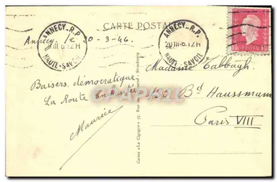
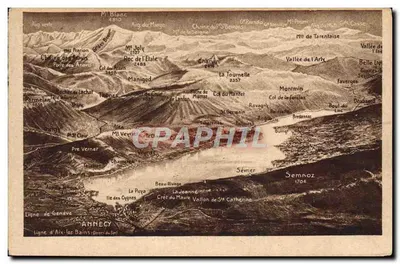
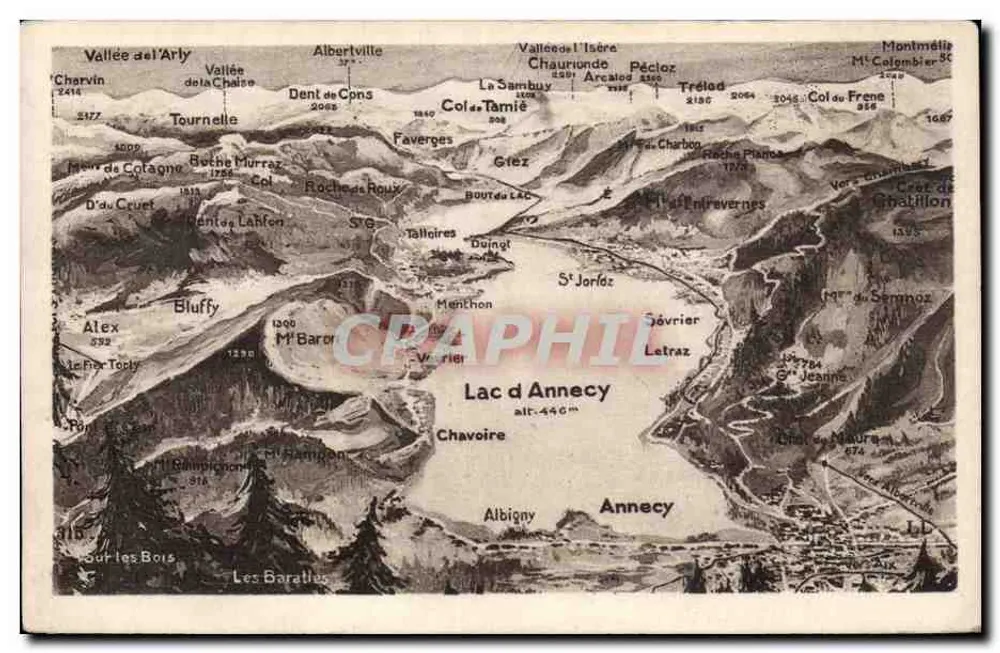
Illustrated postcard showing a detailed topographic map of the Lake Annecy region, with the names of mountains, passes, and villages such as Albertville, Chamonix, Saint-Joritz, and the heights of Mont Blanc. The reverse indicates the publisher 'ES ARTS PHOTOGRAPHIQUES - STRASBOURG - SCHIL-TUNNIM' and features lines for the address and message, with partial handwritten writing in the top left corner.