Paiement 100% sécurisé

This postcard has been sold
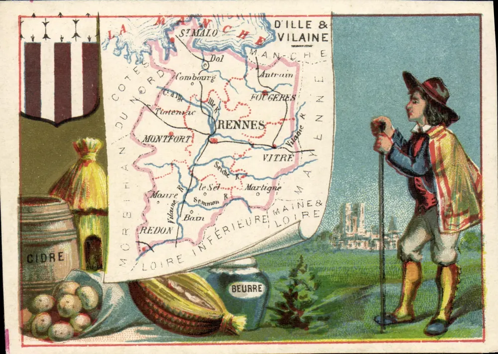
Illustrated postcard of the Department of Ille-et-Vilaine, showing a geographical map with the cities of Rennes, St-Malo, Vitré and waterways, accompanied by a character in traditional costume holding a stick. On the left, regional products: a cider barrel, potatoes and a butter jar. The reverse details the population (600,000 inhabitants), products (wheat, apples, butter), industry (liqueur production, tanneries) and historical facts (siege of Fougères in 1356).