Paiement 100% sécurisé
CPAPHIL
CPAPHIL
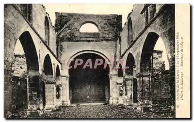
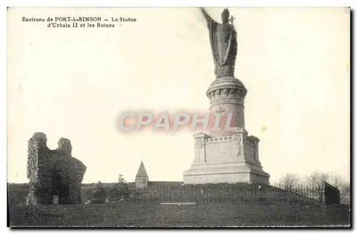
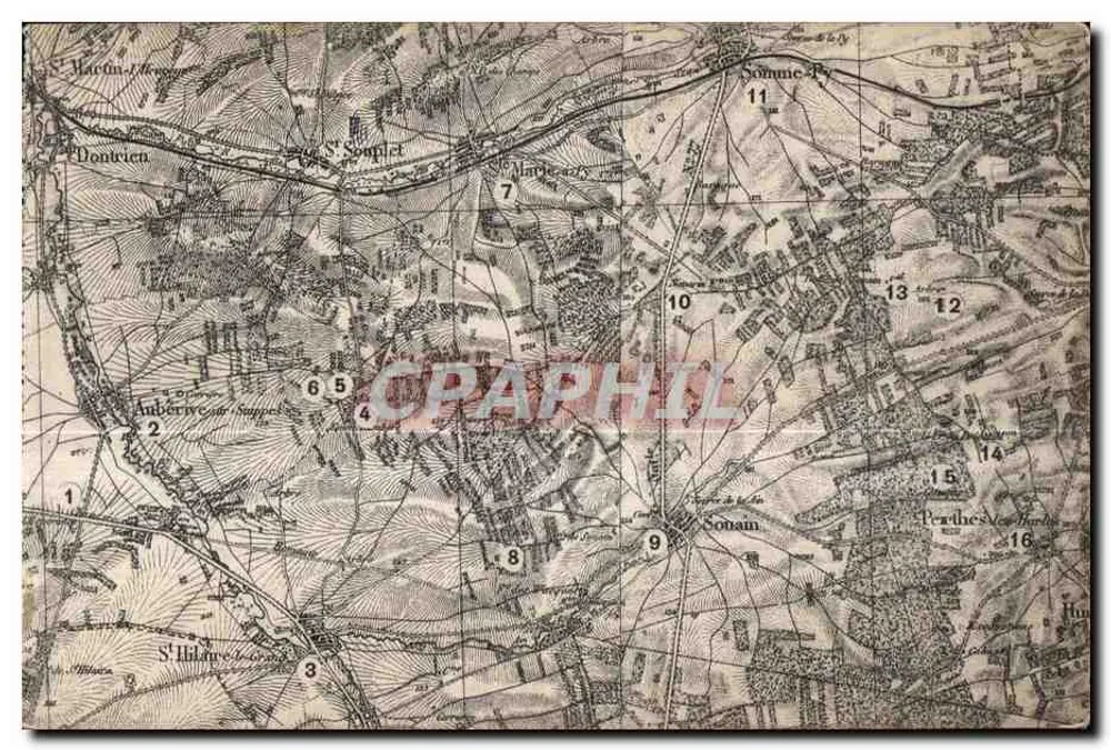
Topographic Map of the Saint-Hilaire-sur-Somme Region — Phototypie Renaime, Reims - Front
Sold
Front
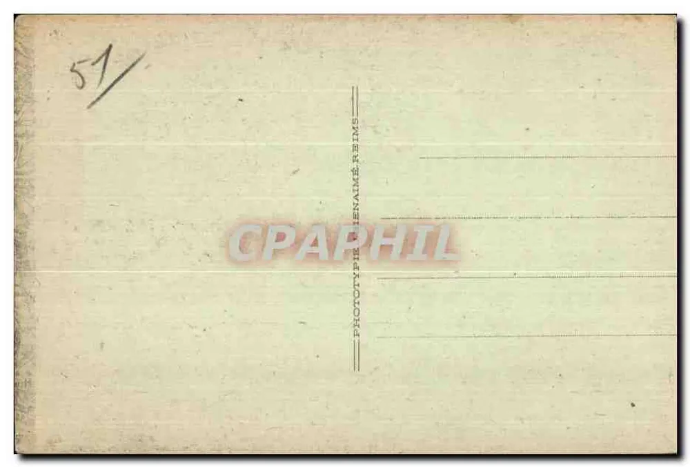
Topographic Map of the Saint-Hilaire-sur-Somme Region — Phototypie Renaime, Reims - Back
Back
SoldITJ39

Topographic Map of the Saint-Hilaire-sur-Somme Region — Phototypie Renaime, Reims

Unclassified
4,00 €

This postcard has been sold

Secure payment
Free shipping from €40
14-day money-back guarantee

Description

Detailed topographic map of the Saint-Hilaire-sur-Somme region, including the localities of Dontrien, Aubérive-sur-Somme, Saint-Souplet, Saint-Hilaire-sur-Somme, Sonnain, and Perthes-les-Hautes. The reverse bears the inscription 'PHOTOTYPE RENAIME REIMS' and the number '51/' in the top left corner, indicating the publisher and an internal numbering.

Characteristics

Type
Antique postcard (CPA)
Reference
ITJ39
Condition
Light folds, slightly worn corners, discreet stains
Availability
Unique piece
Condition
Guaranteed as shown in front and back scans

Information

Reference
ITJ39
Back to catalogue

You may also like

Comments

No comments yet. Be the first!