Paiement 100% sécurisé
CPAPHIL
CPAPHIL
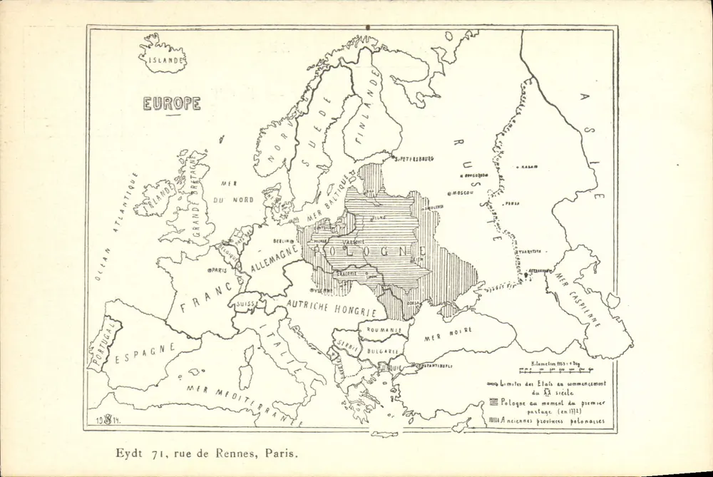
Europe — Boundaries of States at the beginning of the 20th century — Eydt 71, rue de Rennes, Paris - Front
Sold
Front
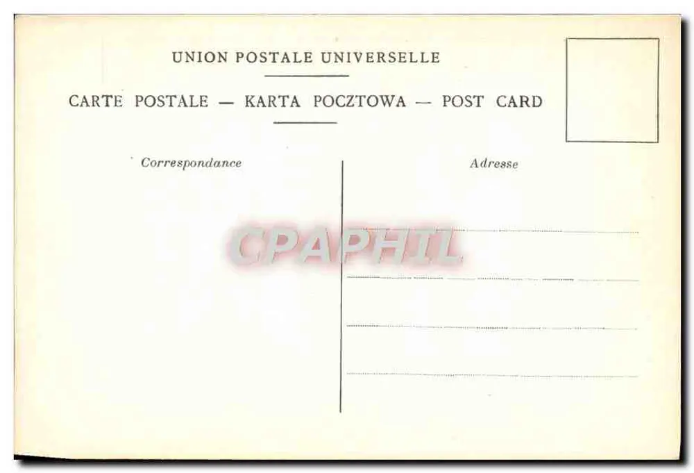
Europe — Boundaries of States at the beginning of the 20th century — Eydt 71, rue de Rennes, Paris - Back
Back
SoldRSZ15

Europe — Boundaries of States at the beginning of the 20th century — Eydt 71, rue de Rennes, Paris

Maps
4,00 €

This postcard has been sold

Secure payment
Free shipping from €40
14-day money-back guarantee

Description

Postcard showing a map of Europe with the boundaries of states at the beginning of the 20th century, particularly Poland in 1918. The back bears the inscription 'UNION POSTALE UNIVERSELLE' and the multilingual mentions 'POST CARD — KARTA POCZTOWA — POST CARD'.

Characteristics

Type
Antique postcard (CPA)
Reference
RSZ15
Condition
good condition
Availability
Unique piece
Condition
Guaranteed as shown in front and back scans

Information

Reference
RSZ15
Back to catalogue

You may also like

Comments

No comments yet. Be the first!