Paiement 100% sécurisé
CPAPHIL
CPAPHIL
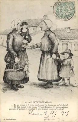
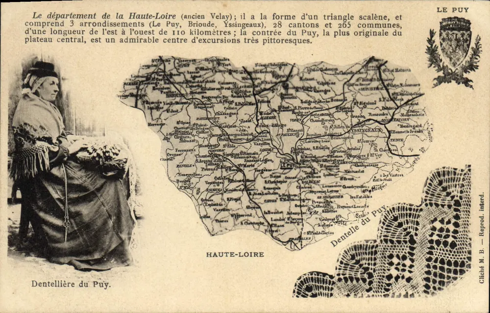
Haute-Loire — geographical and toothed map of Puy — Edition Magnet-Brémond, Le Puy - Front
Front
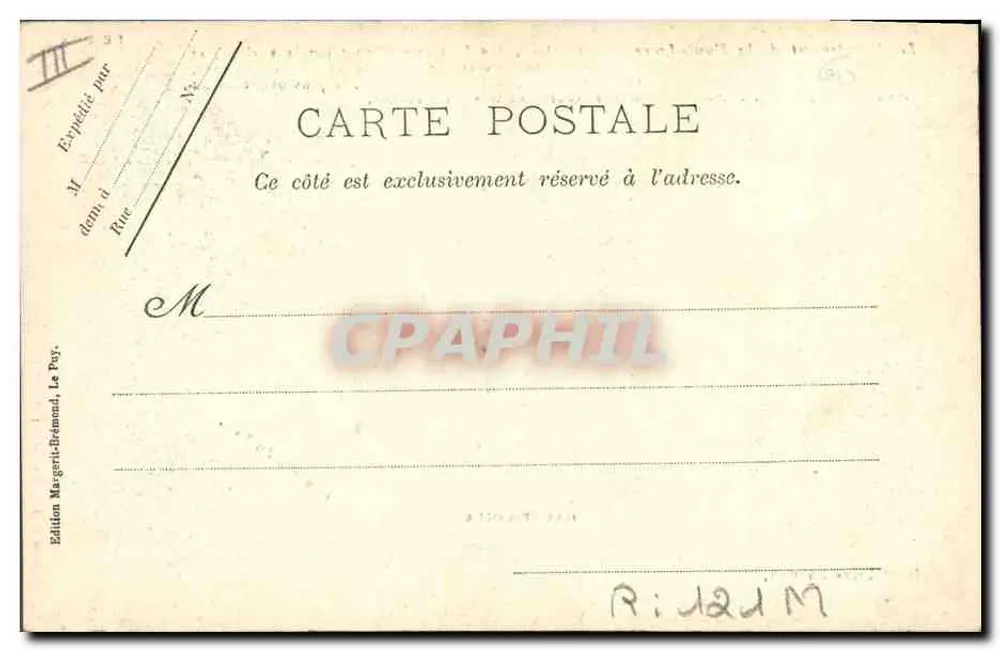
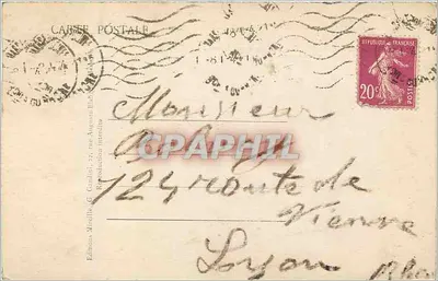
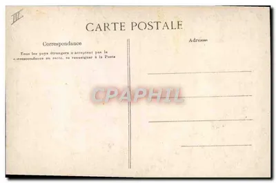
Haute-Loire — geographical and toothed map of Puy — Edition Magnet-Brémond, Le Puy - Back
Back
For saleWZR79

Haute-Loire — geographical and toothed map of Puy — Edition Magnet-Brémond, Le Puy

Other French regions
8,00 €

From €1.50. Free shipping from €40 in France.

Secure payment
Free shipping from €40
14-day money-back guarantee

Ordering from CPAPHIL

  • High-resolution front and back scans
  • One of a kind: once it's gone, it's gone
  • Carefully packed and protected, shipped from France

Description

Postcard illustrating a map of the Haute-Loire department with the Puy toothed map as the image. The printed text describes the department as a scalene triangle with 3 districts, 28 cantons, and 265 communes. The reverse indicates the edition by Magnet-Brémond, Le Puy, and presents a handwritten address 'R: JADIM'.

Characteristics

Type
Antique postcard (CPA)
Reference
WZR79
Condition
good condition
Availability
Unique piece
Condition
Guaranteed as shown in front and back scans

Information

Reference
WZR79
Back to catalogue

You may also like

Comments

No comments yet. Be the first!