Paiement 100% sécurisé
CPAPHIL
CPAPHIL
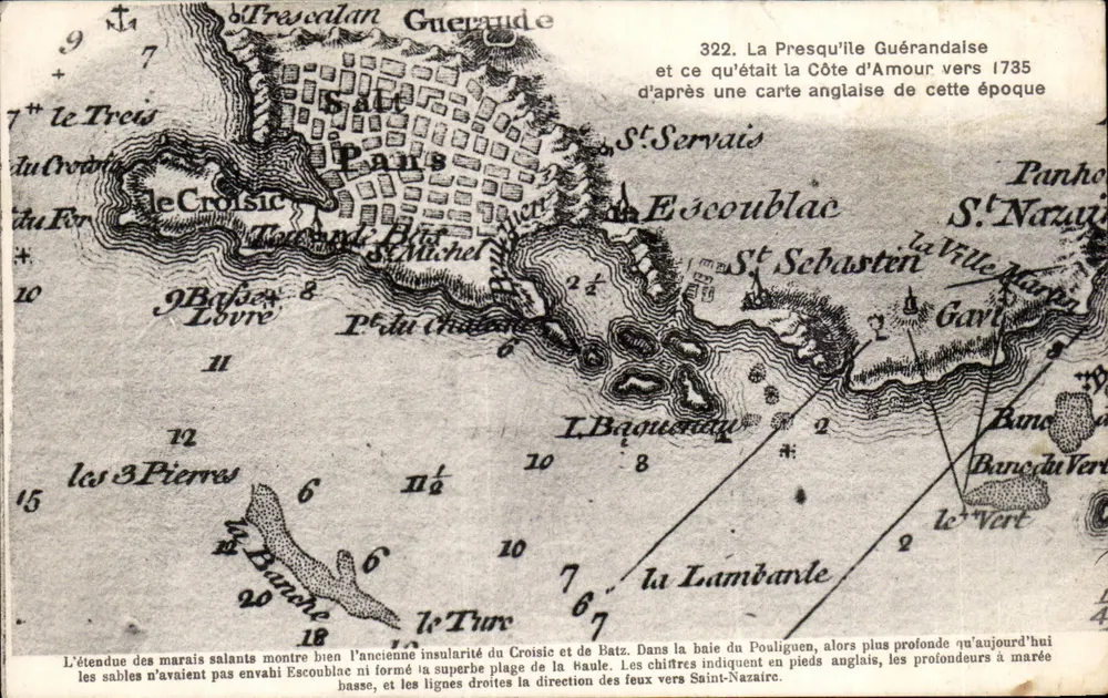
The Guérandaise Peninsula — after an English map of 1735 — F. Chapeau, Nantes - Front
Front
The Guérandaise Peninsula — after an English map of 1735 — F. Chapeau, Nantes - Back
Back
For saleHDB09

The Guérandaise Peninsula — after an English map of 1735 — F. Chapeau, Nantes

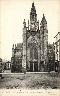
Guérande
4,00 €

From €1.50. Free shipping from €40 in France.

Secure payment
Free shipping from €40
14-day money-back guarantee

Ordering from CPAPHIL

  • High-resolution front and back scans
  • One of a kind: once it's gone, it's gone
  • Carefully packed and protected, shipped from France

Description

Postcard illustrating the coast of Armorique around 1735, with an engraving showing salt marshes, the former insularity of Croisic and Batz, and the bay of Pouliguen. The text explains that the numbers indicate depth in English feet and that the straight lines show the direction of lights towards Saint-Nazaire. Reverse: publisher F. Chapeau, Nantes, with space for address.

Characteristics

Type
Antique postcard (CPA)
Reference
HDB09
Condition
light folds, corners slightly damaged, discreet stains
Availability
Unique piece
Condition
Guaranteed as shown in front and back scans

Information

Reference
HDB09
Back to catalogue

You may also like

Comments

No comments yet. Be the first!