Paiement 100% sécurisé
This postcard has been sold
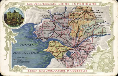
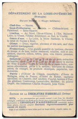
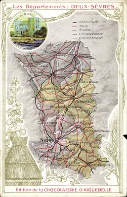
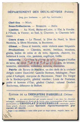
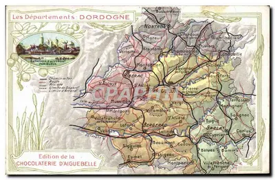
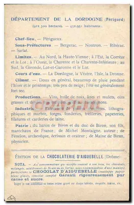
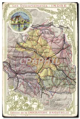
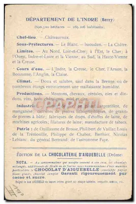
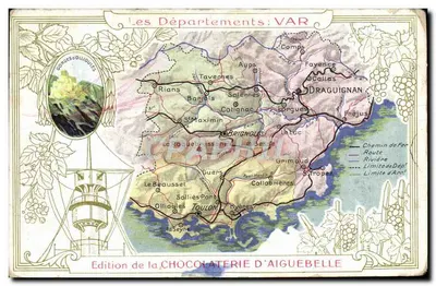
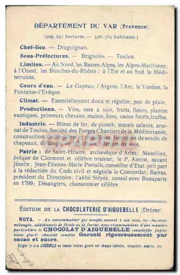
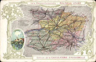
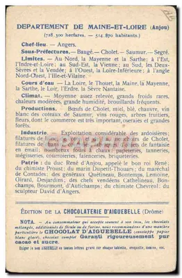
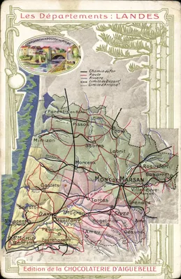
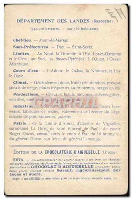
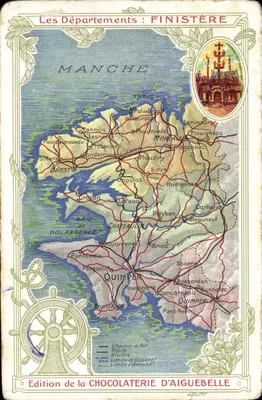
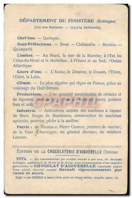
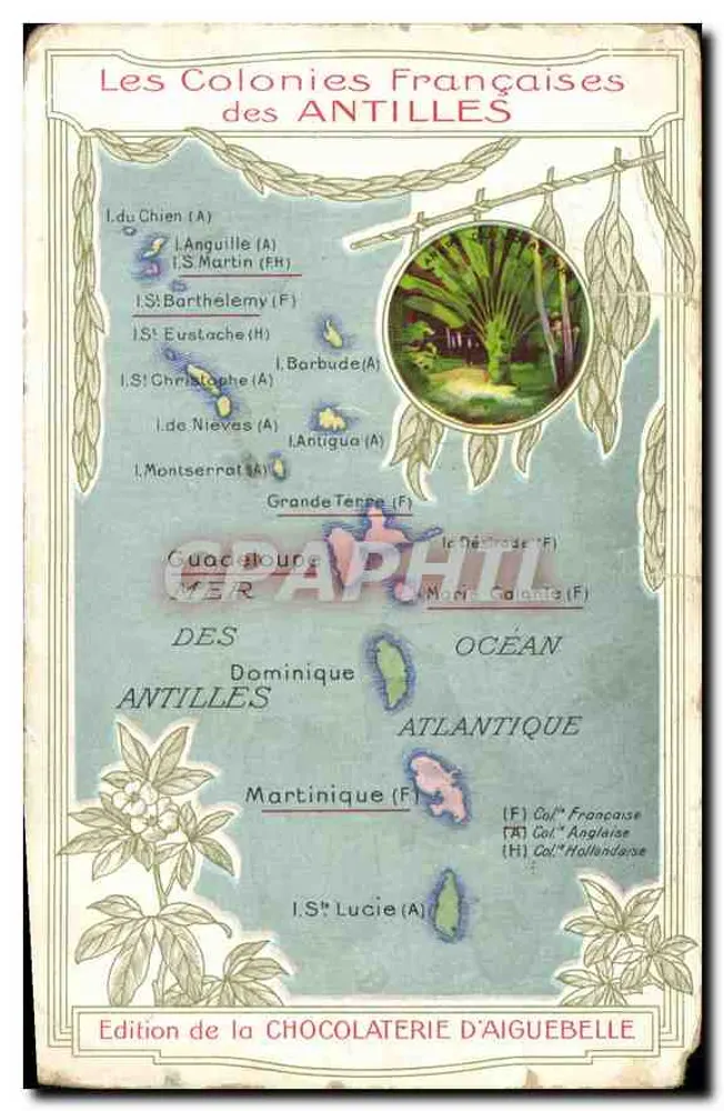
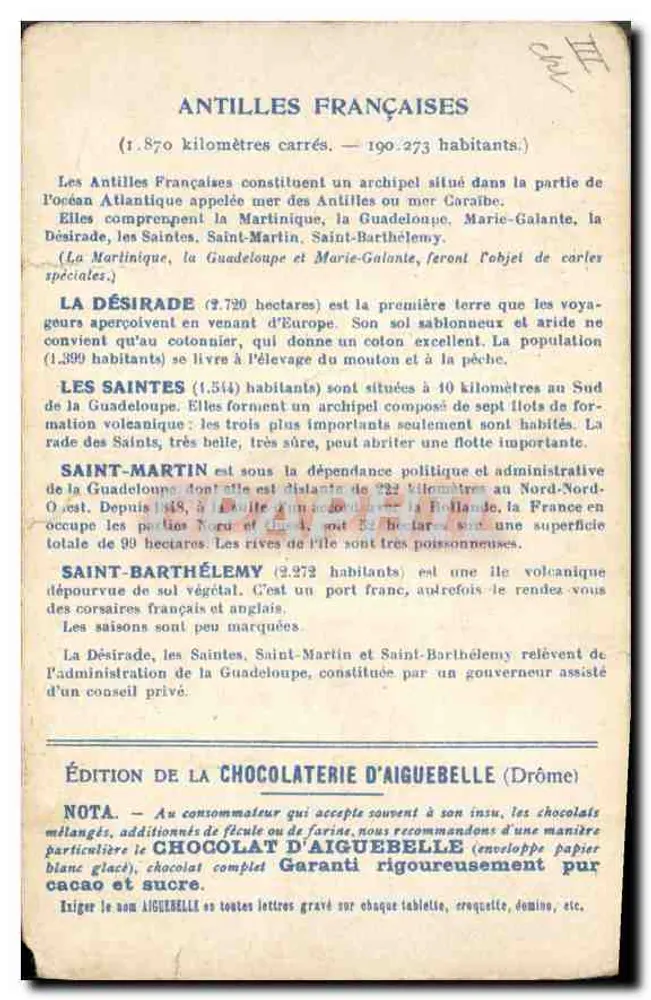
Illustrated map of the French colonies of the Antilles, showing the islands with their colonial statuses (A for English, F for French, H for Dutch). A circular color illustration depicts a tropical scene with vegetation. The reverse side details the French Antilles, their areas and populations, and recommends the chocolates from the Aiguebelle chocolate factory. The publisher is clearly printed at the bottom of the front and back.