Paiement 100% sécurisé
CPAPHIL
CPAPHIL
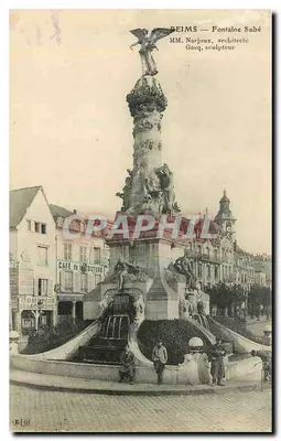
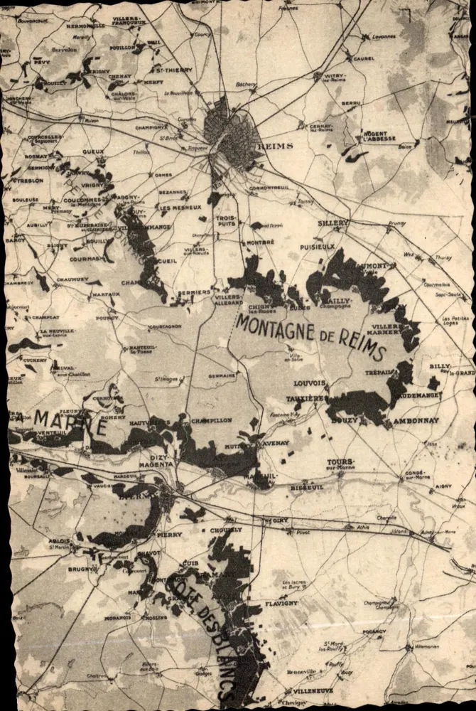
Mount Reims — Topographic Map — Publisher Henri-Cachan - Front
Sold
Front
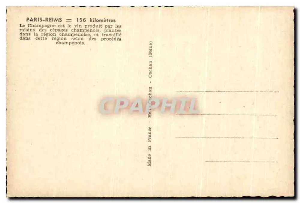
Mount Reims — Topographic Map — Publisher Henri-Cachan - Back
Back
SoldMPY47

Mount Reims — Topographic Map — Publisher Henri-Cachan

Reims
4,00 €

This postcard has been sold

Secure payment
Free shipping from €40
14-day money-back guarantee

Description

Old black and white map of the Mount Reims region, showing the communes and terrain. Reverse: printed text explaining that Champagne is produced in this region using traditional Champagne methods, with mention of the distance Paris-Reims (156 km) and the publisher Henri-Cachan. Postmark and cancellation not visible.

Characteristics

Type
Antique postcard (CPA)
Reference
MPY47
Condition
good condition
Availability
Unique piece
Condition
Guaranteed as shown in front and back scans

Information

Reference
MPY47
Back to catalogue

You may also like

Comments

No comments yet. Be the first!