Paiement 100% sécurisé
CPAPHIL
CPAPHIL
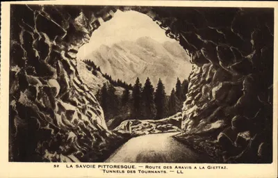
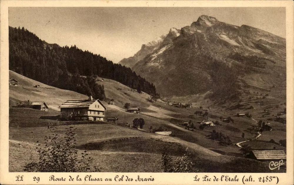
Route de la Clusaz to Col des Aravis — Le Pic de l'Etale (alt. 2483m) — C. Cap, n° LL 29 - Front
Front
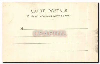
Route de la Clusaz to Col des Aravis — Le Pic de l'Etale (alt. 2483m) — C. Cap, n° LL 29 - Back
Back
For saleEFI79

Route de la Clusaz to Col des Aravis — Le Pic de l'Etale (alt. 2483m) — C. Cap, n° LL 29

Mountains
3,00 €

From €1.50. Free shipping from €40 in France.

Secure payment
Free shipping from €40
14-day money-back guarantee

Ordering from CPAPHIL

  • High-resolution front and back scans
  • One of a kind: once it's gone, it's gone
  • Carefully packed and protected, shipped from France

Description

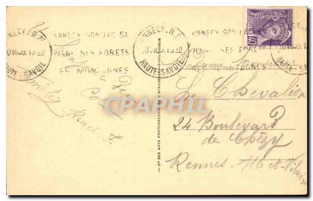
Black and white panoramic view of an alpine landscape with scattered chalets on grassy slopes at the foot of the Pic de l'Etale (2483m). The printed text indicates the route from Clusaz to Col des Aravis. On the reverse, a 40-centimes French postal stamp, partial postmark from Annecy (Haute-Savoie) dated 1 August 1920, and a handwritten address to M. C. C. Bevalier in Rennes.

Characteristics

Type
Antique postcard (CPA)
Reference
EFI79
Condition
good condition
Availability
Unique piece
Condition
Guaranteed as shown in front and back scans

Information

Reference
EFI79
Back to catalogue

You may also like

Comments

No comments yet. Be the first!