Paiement 100% sécurisé
CPAPHIL
CPAPHIL
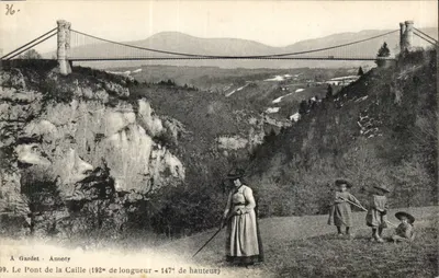
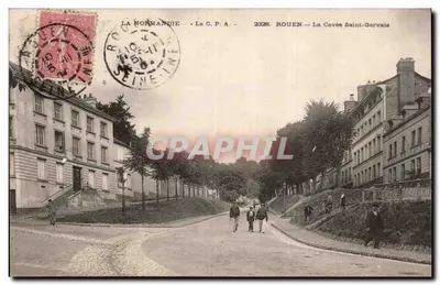
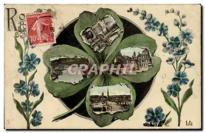
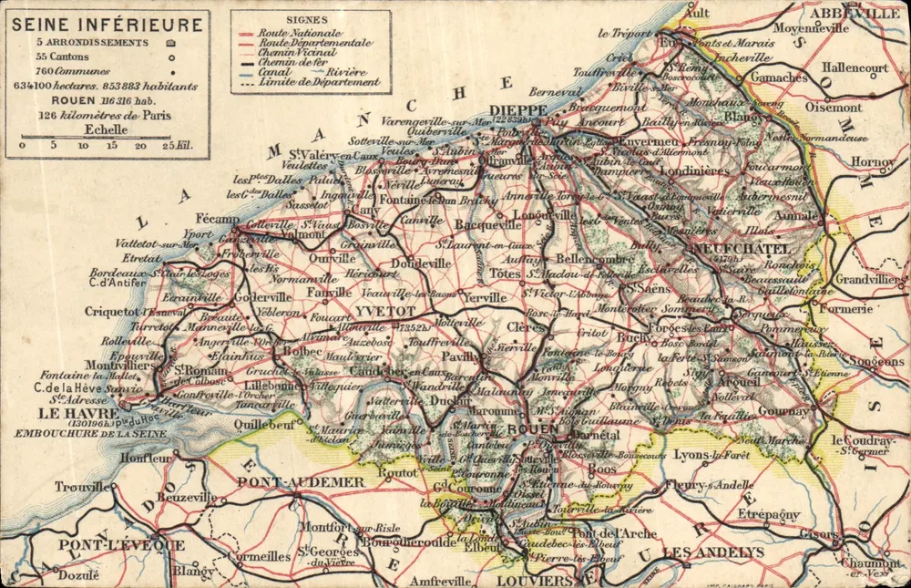
Seine Inférieure — Detailed Geographic Map — Publisher Unidentified - Front
Sold
Front
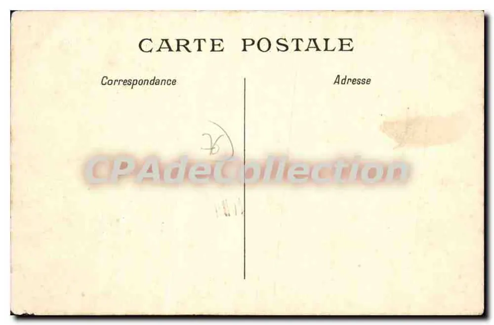
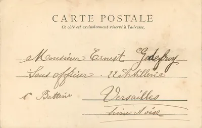
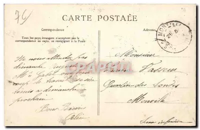
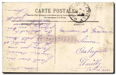
Seine Inférieure — Detailed Geographic Map — Publisher Unidentified - Back
Back
SoldABNW061

Seine Inférieure — Detailed Geographic Map — Publisher Unidentified

Rouen
6,00 €

This postcard has been sold

Secure payment
Free shipping from €40
14-day money-back guarantee

Description

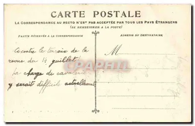
Postcard depicting the Seine Inférieure with 5 districts, 75 cantons and 634,100 inhabitants, including the cities of Rouen, Dieppe, Le Havre and Yvetot. The reverse shows typical correspondence zones and postal addresses, with a watermark 'CPAdeCollection'.

Characteristics

Type
Antique postcard (CPA)
Reference
ABNW061
Condition
Slight folds, corners slightly damaged, discreet stains
Availability
Unique piece
Condition
Guaranteed as shown in front and back scans

Information

Reference
ABNW061
Back to catalogue

You may also like

Comments

No comments yet. Be the first!