Paiement 100% sécurisé
CPAPHIL
CPAPHIL
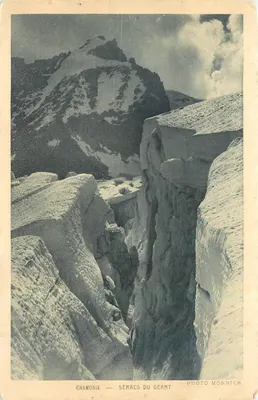
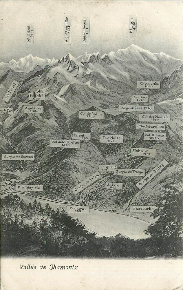
Chamonix Valley — Topographic Map of the Alps — Publisher Not Visible - Front
Sold
Front
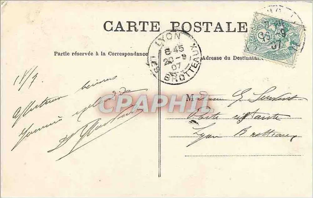
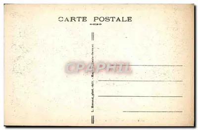
Chamonix Valley — Topographic Map of the Alps — Publisher Not Visible - Back
Back
SoldDHIR39

Chamonix Valley — Topographic Map of the Alps — Publisher Not Visible

Chamonix-Mont-Blanc
4,00 €

This postcard has been sold

Secure payment
Free shipping from €40
14-day money-back guarantee

Description

Postcard depicting the Chamonix Valley with a detailed topography of the surrounding mountains, including the altitudes of peaks such as Mont Blanc (4810 m) and Col du Géant (4014 m). The back features a handwritten address to 'Mr. G. Stedebach' in 'Bretten', with a blue-green 30-centime postage stamp and a circular cancellation of 'BROTTEAU' dated July 23, 1907.

Characteristics

Type
Antique postcard (CPA)
Reference
DHIR39
Condition
Good condition, faint folds, slightly worn corners
Availability
Unique piece
Condition
Guaranteed as shown in front and back scans

Information

Reference
DHIR39
Back to catalogue

You may also like

Comments

No comments yet. Be the first!