Paiement 100% sécurisé
This postcard has been sold
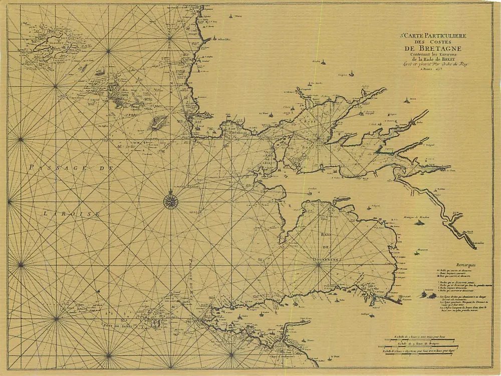
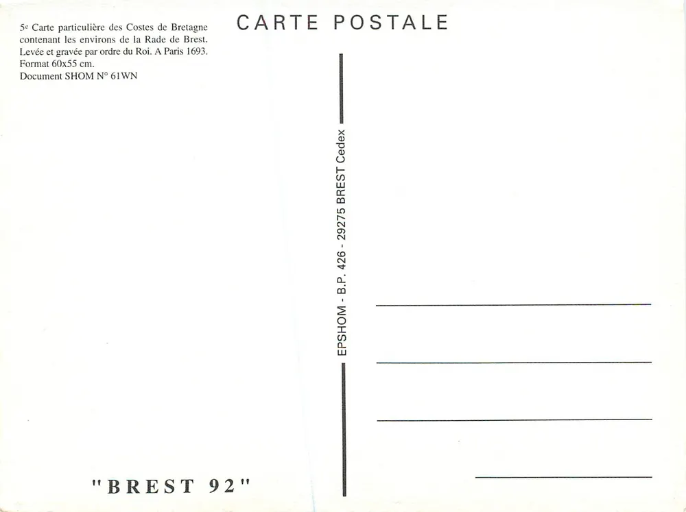
Historical nautical map engraved in 1693, detailing the coasts of Brittany around the Brest Harbour with a network of navigation lines and annotations on passages and hazards. The reverse indicates that it is a postcard of format 60x55 cm, published by SHOM, with a mention of the collection 'BREST 92' and a postal address in Brest.