Paiement 100% sécurisé
CPAPHIL
CPAPHIL
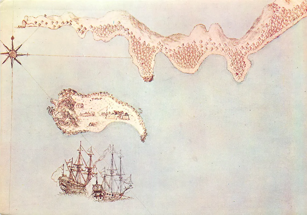
Ancient Navigation Map — Islands and Ships — Publisher and Series Number Unreadable - Front
Sold
SoldDOUT35

Ancient Navigation Map — Islands and Ships — Publisher and Series Number Unreadable

Senegal
3,00 €

This postcard has been sold

Secure payment
Free shipping from €40
14-day money-back guarantee

Description

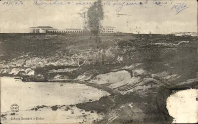
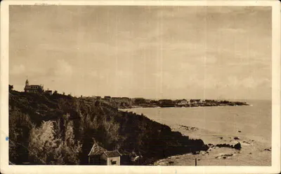
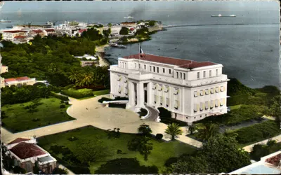
Illustration of an ancient navigation map showing an island with dwellings and two sailing ships at sea, accompanied by a compass rose. The drawing is rendered in sepia tones on a pale blue background, with details of relief and vegetation. The map presents a historical style and a maritime composition typical of navigation maps from the 17th or 18th century.

Characteristics

Type
Modern postcard (CPM)
Reference
DOUT35
Condition
good condition
Availability
Unique piece
Condition
Guaranteed as shown in front and back scans

Information

Reference
DOUT35
Back to catalogue

You may also like

Comments

No comments yet. Be the first!