Paiement 100% sécurisé
From €1.50. Free shipping from €40 in France.
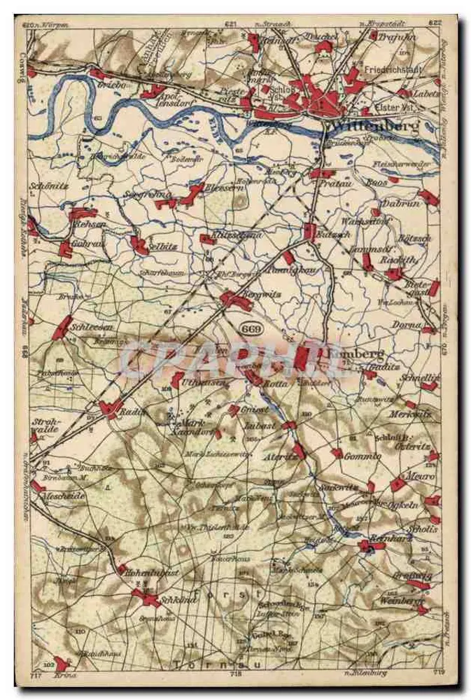
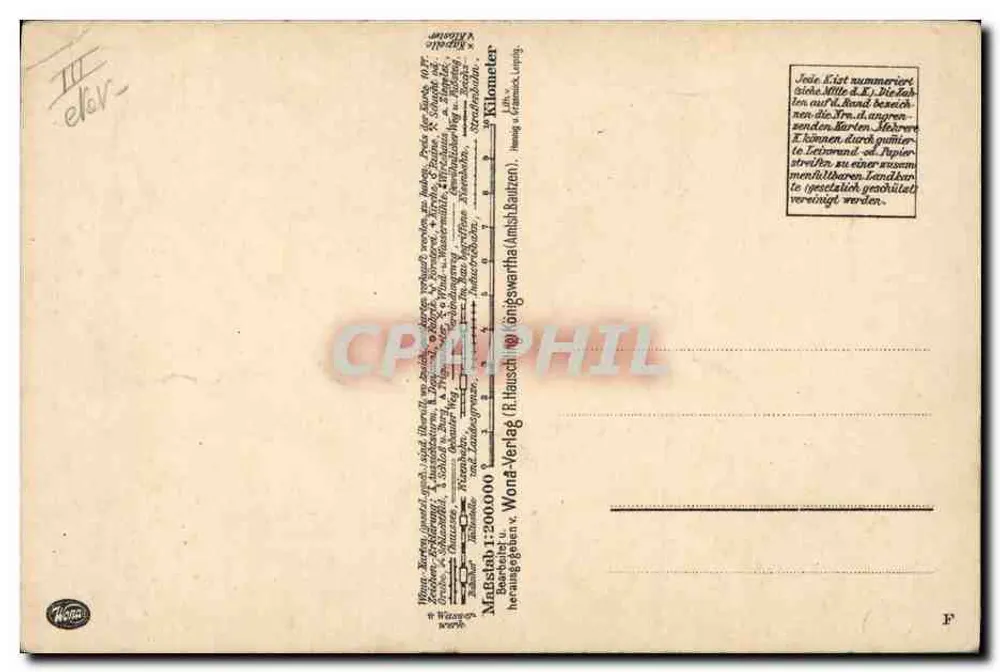
Colored antique topographic map showing the Wittenberg region with locations such as Schöna, Torgau, and Döbeln, and rivers such as the Elbe. The reverse indicates the publisher Wondawertha-Verlag, a scale of 1:200,000, and explanatory text on the numbering of locations. A handwritten cancellation 'III el6V' is visible in the top left corner.